Dales 30
The Western Dales is a bit of a catch-all category.
The “Three Peaks” area contains
- Whernside 736m
- Ingleborough 724m
- Pen-Y-Ghent 694m
- Plover Fell 680m (part of the Pen-Y-Ghent massif)
- Simon Fell 656m (part of the Ingleborough massif)
To the west of Whernside is the ridge which contains
- Great Coum 687m
- Gragareth 628m and in Barbondale
- Calf Top 610m
To the east of Pen-Y-Ghent are, from the valley which runs between Littondale and Malham
- Fountains Fell 668m
- Darnbrook Fell 624m
Whernside
Whernside is the biggest of the dales mountains and deservedly also one of the most popular. It can get pretty busy at weekends in summer with three peaks walkers, but even at these times of years, by starting early or late, or taking a different route, the crowds can be avoided. The simplest way is to start from the Ribblehead Viaduct where there is ample parking and a choice of several good routes, most of which are very runnable. The summit ridge has particularly impressive views in all directions. Another excellent route is the (much quieter) route from Dent, which also features panoramic views on a clear day and some very runnable paths. 
Ingleborough and Simon Fell
Ingleborough is another of the three peaks and can be similarly busy. Again there is a good choice of paths, from Ingleton, Ribblehead, or from Clapham. From some angles, it can clearly be seen that Ingleborough is simply the highest peak in a ridge which contains several others. Simon Fell is one of these, and if the plan is to tackle both in one run, the route from Ingleborough over Park Fell to Simon Fell is required. Although the paths are fairly clear on the ground, there is little signposting and few other people around, so some map navigation be may be required if the weather prevents the peaks being clearly visible.  Ingleborough covered by cloud, from Simon Fell.
Pen-Y-Ghent and Plover Fell
Pen-Y-Ghent is the smallest of the three peaks, and the only of the 30 which may require the use of hands as well as feet, in one very short section near its peak. Plover Fell is another peak in the same ridge. I would say one for the completists only, with extremely boggy and almost unmarked paths, and a barely discernible peak which is a slight rise in the surrounding peat. Some people seem to like it, so perhaps I should revisit on a day with better weather. 
Great Coum
One of my favourites of the Dales 30. Great Coum is one end of a long ridge (approaching 2 hours of running potentially) with Gragareth at the other end. It can be reached from Dent or from the direction of Gregareth. Outstanding views over the dales and to the lakes and Morecame Bay and many interesting features on the summit plateau make this a great day out. I have never seen anybody else on the top, so it does not appear to be much visited.  One of a number of impressive cairns on the summit plateau.
 Views from the summit plateau towards the Irish Sea and Cumbria.
Gragareth
This is now considered the county top of Lancashire, now that the Old Man of Coniston is considered to be part of Cumbria. It can be approached from Leck or Ireby, from where it is a relatively short run.
 Cairn on Gragareth.
Calf Top
Calf Top is the high point of the ridge which runs along Barbondale - a very attractive dale although I feel it looks better from the road than from the ridge. It can be conveniently reached from Barbon, from where several routes will take up on to the ridge. A very runnable route with good paths and nothing too steep, although the descent down the side of the ridge suggested in the Dales 30 book is very steep indeed and runners may prefer to retrace their steps or continue a mile or more to the north to reach slightly more amenable ground. 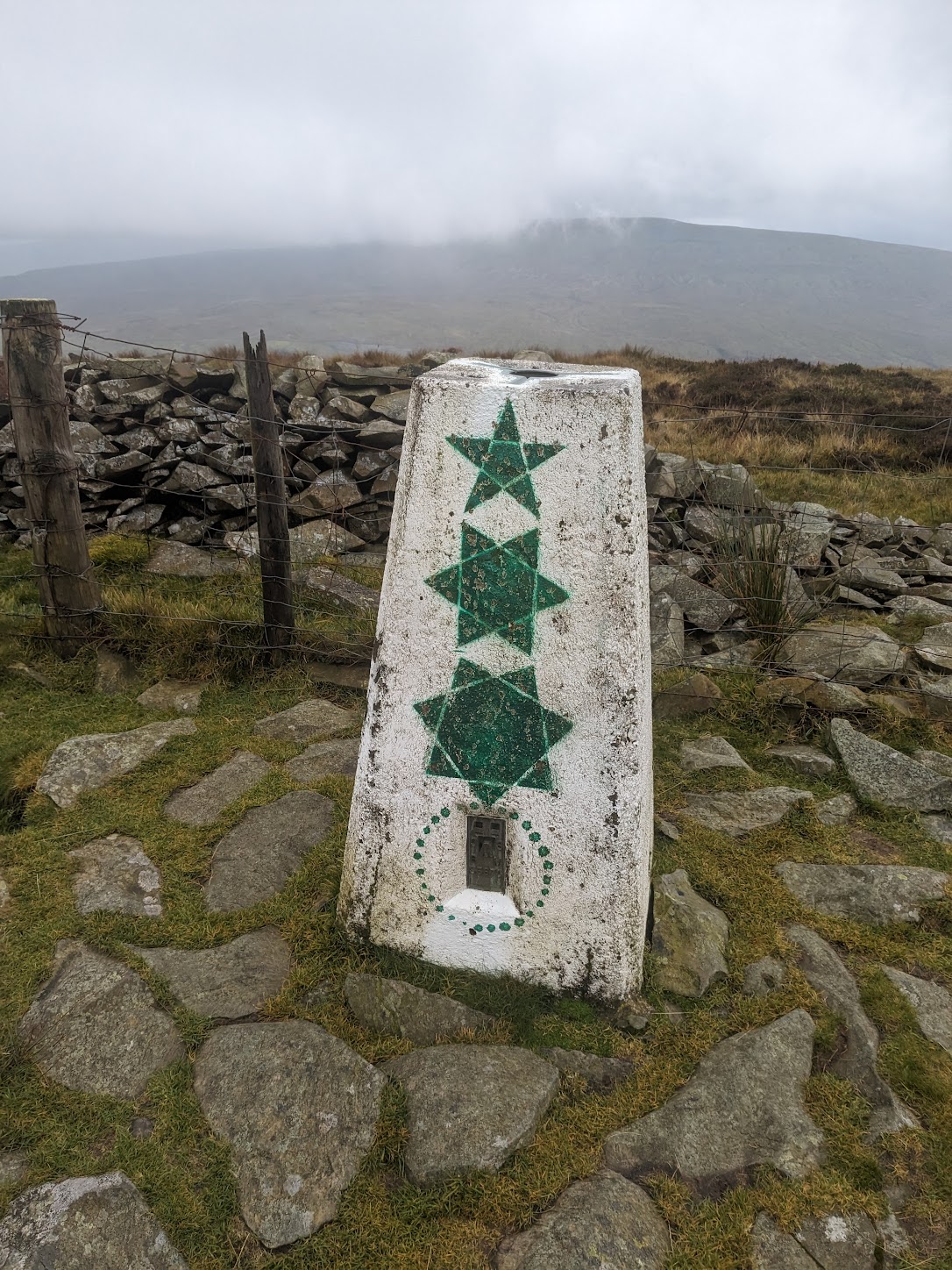 An unusual marker near the peak of Calf Top.
Fountains Fell
Fountains Fell is easily reached from the Pennine Way footpath to the south (or north, of course). The summit area is quite large, with a number of cairns, shelters, mine shafts and so on, and quite an interesting place.
 Cairn at the top of Fountains Fell.
Darnbrook Fell Darnbrook Fell can be best reached from the summit of Fountains Fell and then following the wire fence over some fairly boggy ground. The best views can be attained by continuing past the peak for a mile or so. The return route suggested in the Dales 30 book can be very boggy, with no obvious paths through the peat and heather and it seems that the owners of Darnbrook house are not keen on people crossing what is their private land, so it may be better to simply return from Darnbrook back via the way y9ou came.
 The OS trig point on Darnbrook Fell. The surrounding peat can be clearly seen.